China’s DJI Drone Just Mapped Everest’s Deadliest Icefall—Saving Lives for the 2026 Climbing Season
DJI, the world’s top civilian drone maker, has released high-resolution 3D survey footage of the Khumbu Icefall on Mount Everest, giving climbers a critical safety tool for planning the 2026 season. The footage, captured by a Matrice 4E drone and processed with DJI Terra software, maps one of the most dangerous sections of the climb—a constantly shifting glacier with deep crevasses and towering ice blocks [207134].
The survey provides expedition teams with up-to-date, accurate data to identify safe paths and avoid hazardous areas before setting foot on the ice. DJI said the technology helps reduce risk for climbers and support staff by delivering a clear picture of the current terrain [207134].
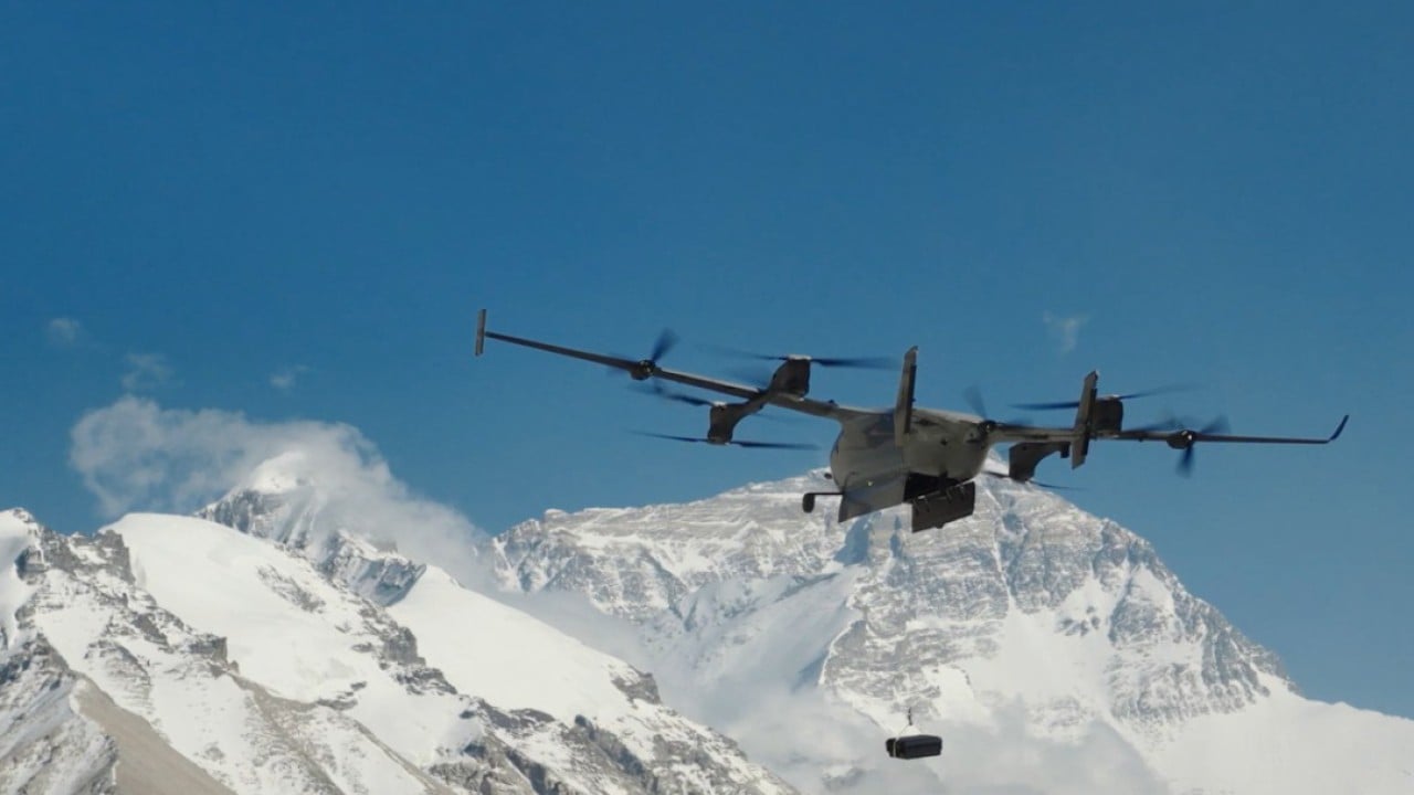
Separately, China has opened a new drone research center in Tibet, near the base of Everest, to gain an edge in high-altitude technology competition with the United States. The Plateau Drone R&D Application Centre, launched by Xizang University earlier this month, is located on the Chinese side of the world’s highest peak. Its extreme altitude gives researchers a natural advantage for testing and developing drones that can operate in thin air and harsh conditions, accelerating innovation for both civilian and possible military applications [206362].
The drone mapping of Everest and the new research hub are part of a broader US-China rivalry for technological leadership in aviation and surveillance [206362][207134].